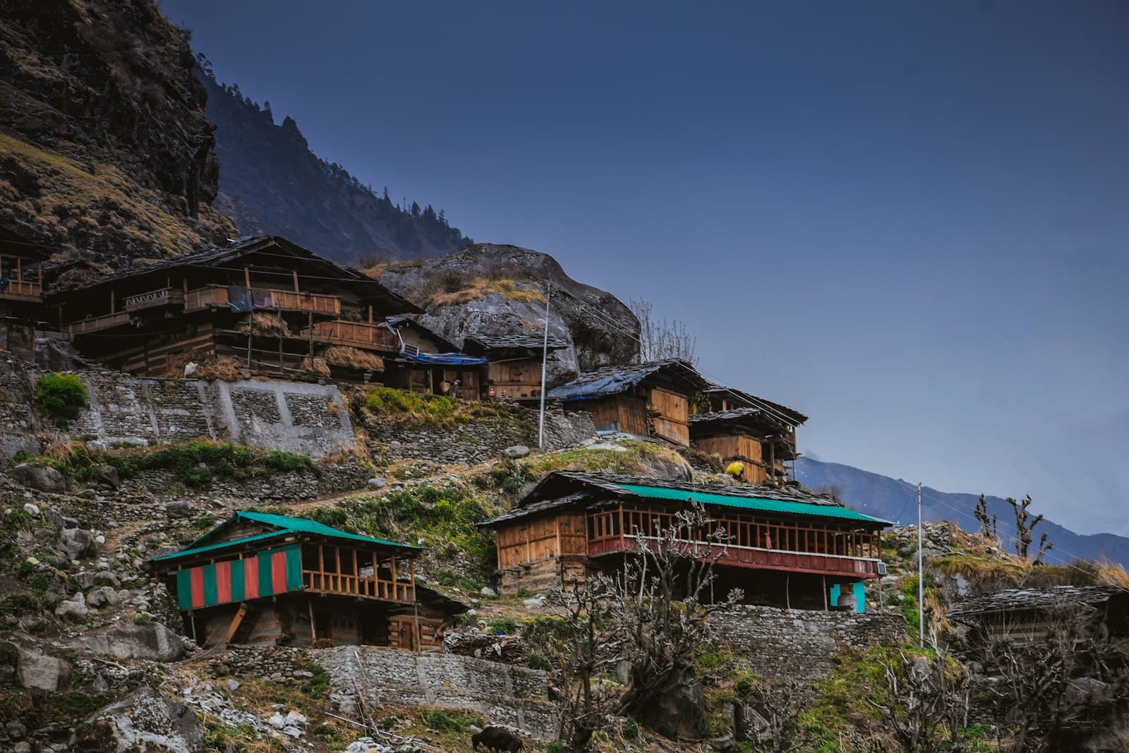
Local engineers for building in the hills.
Rawat Engineers and Contractors is a building planner and surveyor practice in Bhimtal, Nainital, working across the lake towns and hills around it.
We are a small, hands-on team that plans, surveys and builds on the kind of land the hills around Bhimtal and Nainital actually have: steep, terraced and full of character.
As a DLDA approved building planner, we prepare building maps and take them through approval. Around that core we offer everything a building needs: land survey, 3D elevation, estimates and valuation, property advice and construction.
Many of our clients are building their first house, or live away from home and need someone they can trust on the ground. We keep the process clear, the paperwork complete and you informed at every step.
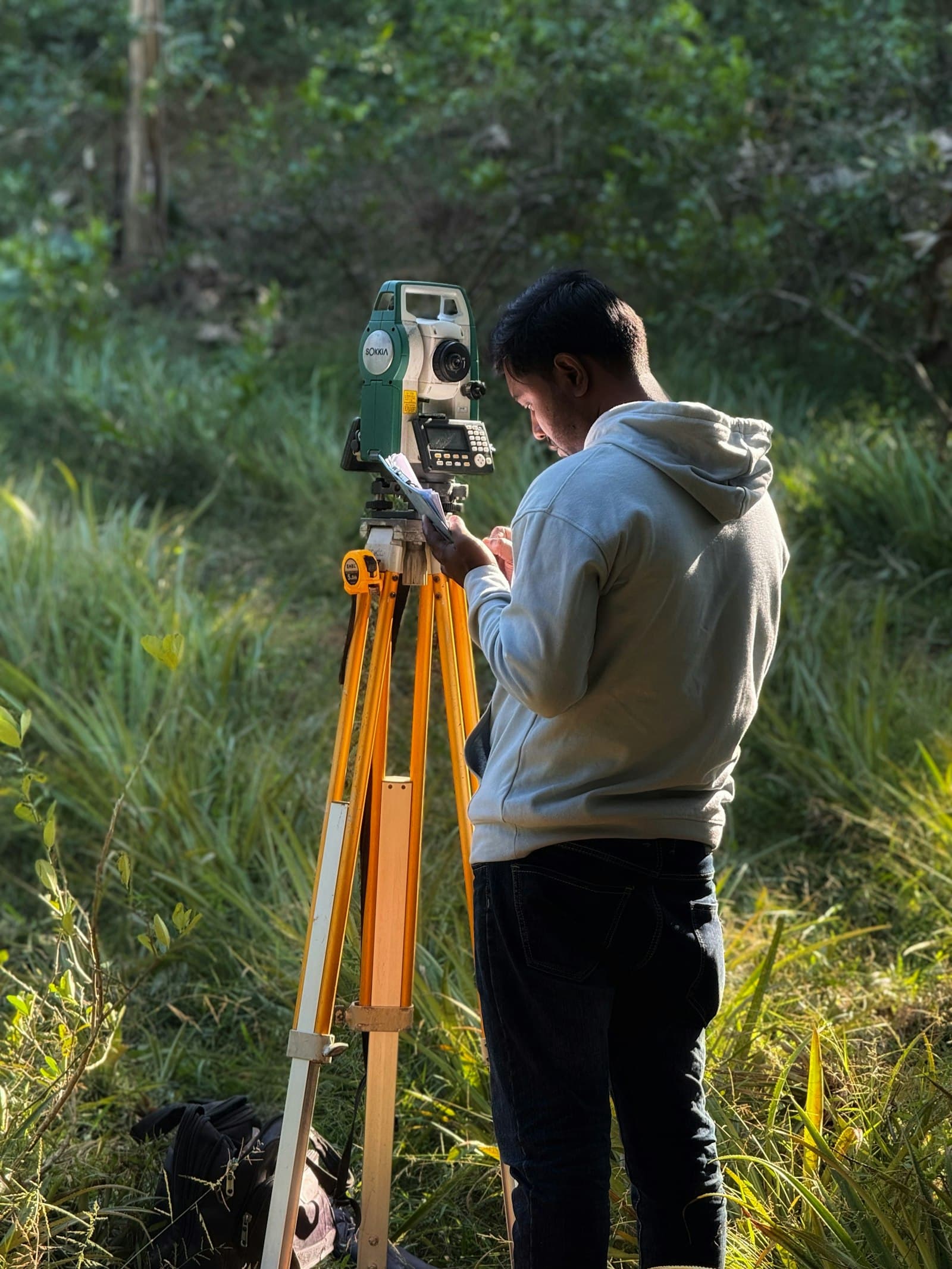
Proprietor
Owner Name
Proprietor · Building Planner & Surveyor
- Years in practice
- 10+
- Building maps prepared
- 300+
- Sites surveyed
- 150+
- Services, one team
- 6
Placeholder figures · to be confirmed
How we work.
Four habits that shape every map, estimate and building we deliver.
[001]
Start on the ground
Every plan begins with a real survey of the plot, not a guess from a photo.
[002]
Draw it right the first time
Maps are drawn to the by-laws so the approval file moves without avoidable objections.
[003]
Say the cost out loud
Estimates are shared stage by stage, explained in plain language before work begins.
[004]
Build for the hills
Foundations, drainage and retaining walls designed for slopes, rain and snow.
From first call to handover.
Stage 01
Site visit & survey
We measure the plot, record levels on the slope and check access.
Output · Site plan
Stage 02
Plan & 3D design
Floor plans around your family, then 3D views of the front.
Output · 3D views
Stage 03
DLDA map approval
The map is drawn to the by-laws, submitted and followed up.
Output · Approved map
Stage 04
Estimate & budget
Quantities and stage-wise costs, explained line by line.
Output · Cost estimate
Stage 05
Construction & handover
Supervised work on site, quality checks at every stage.
Output · Your building
Planning to build in the hills? Start with the right map.
Tell us where your plot is and what you want to build. We will tell you what the rules allow, what it will take and what to do first.