Plot demarcation in Nainital district: how boundaries are measured and marked
Terraced land, old village maps and missing boundary stones: how a demarcation survey fixes your plot's boundaries in Bhimtal, Bhowali or Ramgarh.
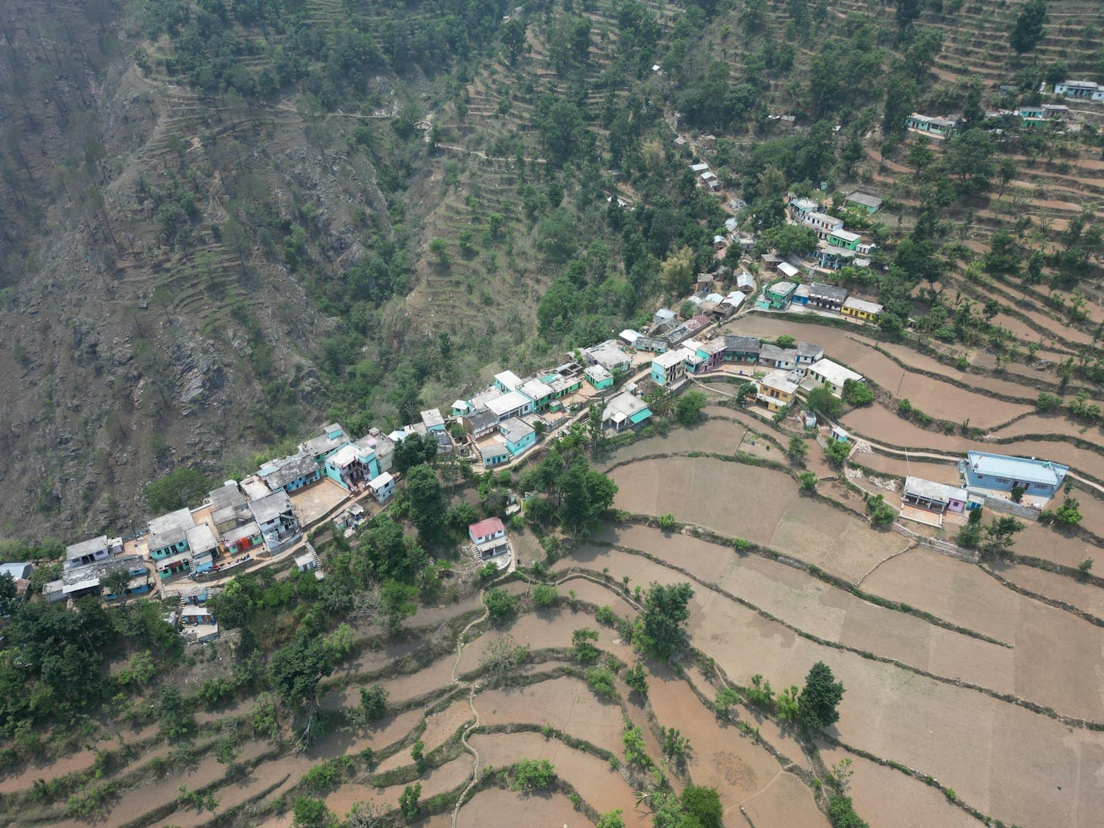
In the hills, boundaries are rarely a straight wall. They are the edge of a terrace, a line of stones, an old path or a tree someone's grandfather planted. Village maps are old, families divide land informally, and new buyers arrive with a registry that says how much land they own but not exactly where it ends. Demarcation settles that on the ground.
When you need a demarcation
- Before you buy, so you know the land shown to you is the land on the papers.
- Before the building map, because setbacks are measured from the boundary. Wrong boundaries are a common map objection.
- Before building a boundary wall, so it stands on your land and not a neighbour's.
- When a family divides land, or a neighbour disputes the line.
How a demarcation survey works
- 01Collect the records: registry, khatauni, khasra number, the village map and, where possible, the neighbours' papers. See khasra, khatauni and mutation.
- 02Find fixed reference points on site that also appear on the map: old boundary stones, road edges, corners of old buildings.
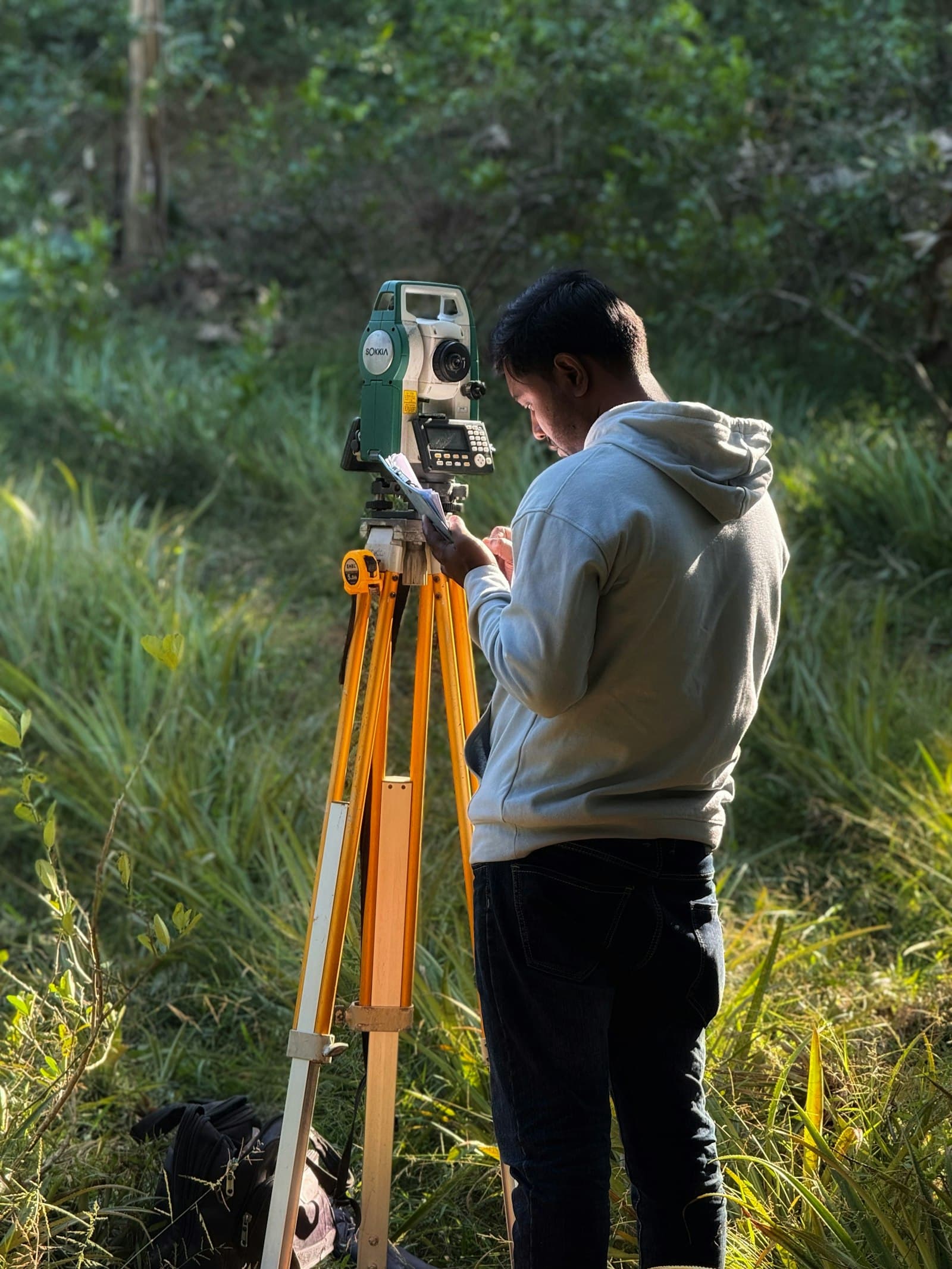
- 03Survey the area with a total station, recording horizontal distances and levels.
- 04Fit the record boundaries to the site from those reference points, and compare the areas.
- 05Mark the corners on the ground with pegs or boundary pillars.
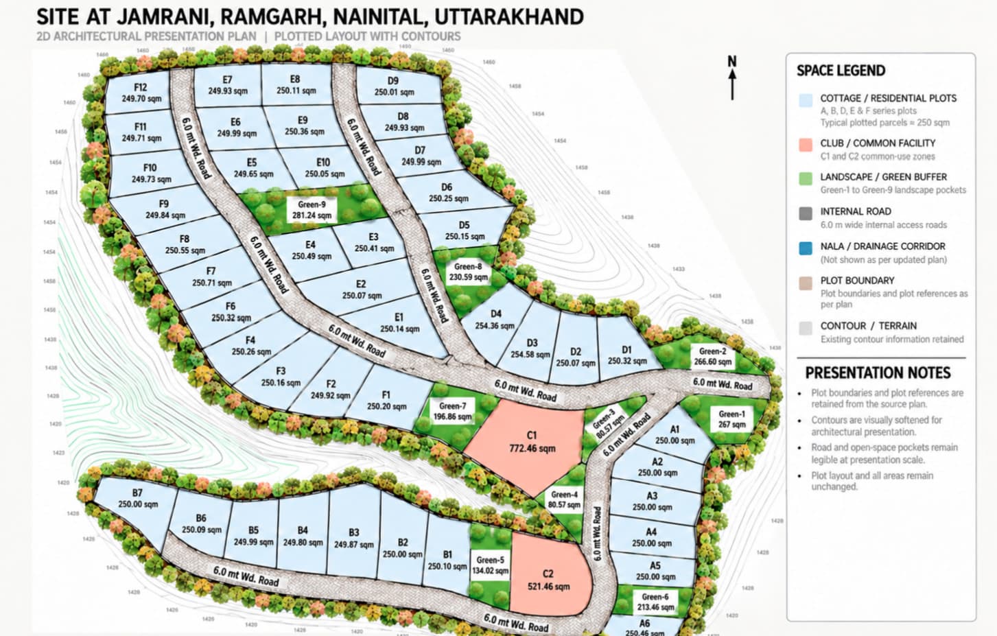
- 06Prepare a site plan showing boundaries, area, levels, access and neighbours.
Why tape measurements go wrong on hill plots
Records and maps use horizontal area. A tape laid along a slope measures a longer, sloping distance, so the plot seems bigger than it is. Terrace walls, bends and uneven corners make ‘length × width’ unreliable. A total station measures true horizontal distances and levels at the same time. Here is how nali, square feet and square metres relate, and why the true area matters.
Private survey or official demarcation?
A private survey by a surveyor tells you, accurately, where your boundaries fall according to the records. It is what you need before buying, designing or building a wall. Where there is a dispute with a neighbour, the official demarcation (seemankan) is done by the revenue department on an application at the tehsil, with neighbours given notice. A good private survey often helps the official process by showing clearly where the difference lies.
Do it together with the level survey
If you plan to build, measure the levels at the same visit. The boundaries tell you where you can build; the levels tell you what it will take. See why a level survey comes first on a slope.
Tips for owners
- Invite neighbours to be present when corners are marked. It prevents most future arguments.
- Photograph every boundary pillar with a landmark in the frame.
- Build the boundary wall soon after demarcation, while the marks are fresh.
- Keep the signed site plan with your property papers.
Our land surveyor service covers plot measurement, demarcation and level surveys across Bhimtal, Bhowali, Nainital, Ramgarh and Mukteshwar.
Common questions
What is demarcation of land?
Demarcation is measuring a plot from its land records and marking its boundaries on the ground, usually with pegs or pillars, along with a site plan showing the area.
How is official demarcation done in Uttarakhand?
Official demarcation (seemankan) is done by the revenue department after an application at the tehsil, with the neighbours notified. It is mainly used when there is a dispute.
Why does my plot measure less than the registry says?
Often because earlier measurements were taken along the slope, or included paths and terrace walls. Records use horizontal area, which a total station survey measures directly.
 [S-04] Related serviceLand SurveyorAccurate plot measurement, levels and demarcation on hill terrain.
Questions about your own plot?
Ask on WhatsApp