Building on a slope? Start with a level survey
On a hill plot, the height difference across the land decides your foundation, retaining walls and budget. Here is why the survey comes first.

Flat plots are rare in the hills. Around Bhimtal, Bhowali and Nainital, a plot that looks gentle in a photo can drop several metres from one boundary to the other. A level survey, also called a contour survey, measures that drop accurately, and everything that follows is planned from it.
What a level survey records
- Boundary points and the exact plot area. See plot demarcation.
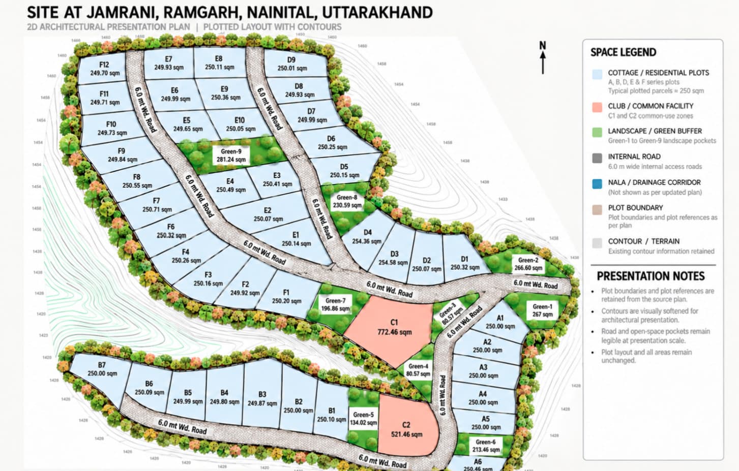
- Ground levels across the plot, drawn as spot levels or contour lines.
- Existing features: trees, walls, drains, rocks and structures.
- The level and width of the access road.
Why it matters for your building
- Foundation design: how deep, and whether it steps down the slope.
- Retaining walls: where they are needed and how high. Here is how retaining walls on hill plots should be built.
- Cutting and filling: moving earth is one of the biggest hidden costs on hill sites.
- Drainage: where rainwater goes during the monsoon.
- Floors and entrances: which level meets the road, and how many floors fit. See designing a house on a sloping plot.
When to get it done
Ideally before you buy the plot, so you know what it will cost to build on; it belongs on every plot-buying checklist. At the latest, before the design starts. Drawings made without real levels often need to be redone once construction begins, and slope is one of the biggest factors in what a house costs to build in Nainital and Bhimtal.
Tips for hill plots
- Walk the plot after rain if you can, and watch where water flows.
- Check how materials will reach the site; carrying costs add up.
- Ask about soil and rock conditions in nearby buildings.
- Plan for snow load and cold if the plot is at higher altitude, as in Mukteshwar or Ramgarh.
Our land surveyor service records boundaries, levels and features with instruments, and gives you a site plan your designer and engineer can build from.
Common questions
What is the difference between a level survey and a contour survey?
They are closely related. A level survey records ground levels at many points; a contour survey joins points of equal level into contour lines. On hill plots the two are usually done together.
Is a level survey needed for map approval?
The authority needs an accurate site plan, and on sloping plots the levels are essential for measuring height and designing the foundation. A proper survey avoids objections and redesigns later.
[S-04] Related serviceLand SurveyorAccurate plot measurement, levels and demarcation on hill terrain.Questions about your own plot?
Ask on WhatsApp