Naksha pass in Nainital: how DLDA map approval works in Bhimtal, Bhowali and the lake towns
Which authority passes your map in Nainital, Bhimtal, Bhowali or Sattal, what goes into the file, and each step from site visit to approved naksha.

Around Nainital, “naksha pass” is what most people call getting a building map approved. Whether your plot is in Bhimtal, Bhowali, Naukuchiatal, Sattal, Ramgarh, Mukteshwar or Nainital town itself, the map is usually passed by the District Level Development Authority (DLDA), Nainital. This guide covers how that works locally. For the general picture, start with what to expect from building map approval in Uttarakhand.
Which authority covers your plot
DLDA Nainital, still called the Jheel Vikas Pradhikaran (Lake Development Authority) by many, lists Nainital, Haldwani, Kaladhungi, Ramnagar, Bhowali, Ramgarh, Mukteshwar, Bhimtal, Sattal and Naukuchiatal within its area. Its head office is at Tallital in Nainital, with regional offices in Haldwani and Garampani; the offices and contacts are listed in our Hindi guide. Villages at the edges of these towns are where people get confused: some fall inside a notified development area and some do not, and the rules that apply change with that line.
- Inside the development area, the map needs DLDA approval before any construction starts.
- The land use shown for your plot in the master or zonal plan matters as much as the plot itself.
- Plots close to the lakes carry extra conditions. See building near Bhimtal, Naukuchiatal or Sattal lake.
- If the land is still recorded as agricultural, the land use usually has to be changed first. See Section 143 in Nainital district.
Three checks before the file
- 01Records: the owner's name, khasra number and area should match across the registry and the khatauni. Here is how to check khasra and khatauni for a Nainital plot.
- 02Land use: agricultural land needs a Section 143 declaration before a house can be approved on it.
- 03Survey: boundaries, area, levels and road width measured on site. On a slope this is not optional; see why a level survey comes first.
What goes into the file
| Document | Why it is needed | Usually from |
|---|---|---|
| Registry (sale deed) | Shows how you acquired the land | Your purchase papers |
| Khatauni and khasra | Owner's name and plot number in revenue records | Tehsil, or bhulekh.uk.gov.in |
| Section 143 order | Confirms non-agricultural use, if the land was farmland | Revenue department or authority |
| Site plan from a survey | Plot shape, area, levels and access road width | Surveyor |
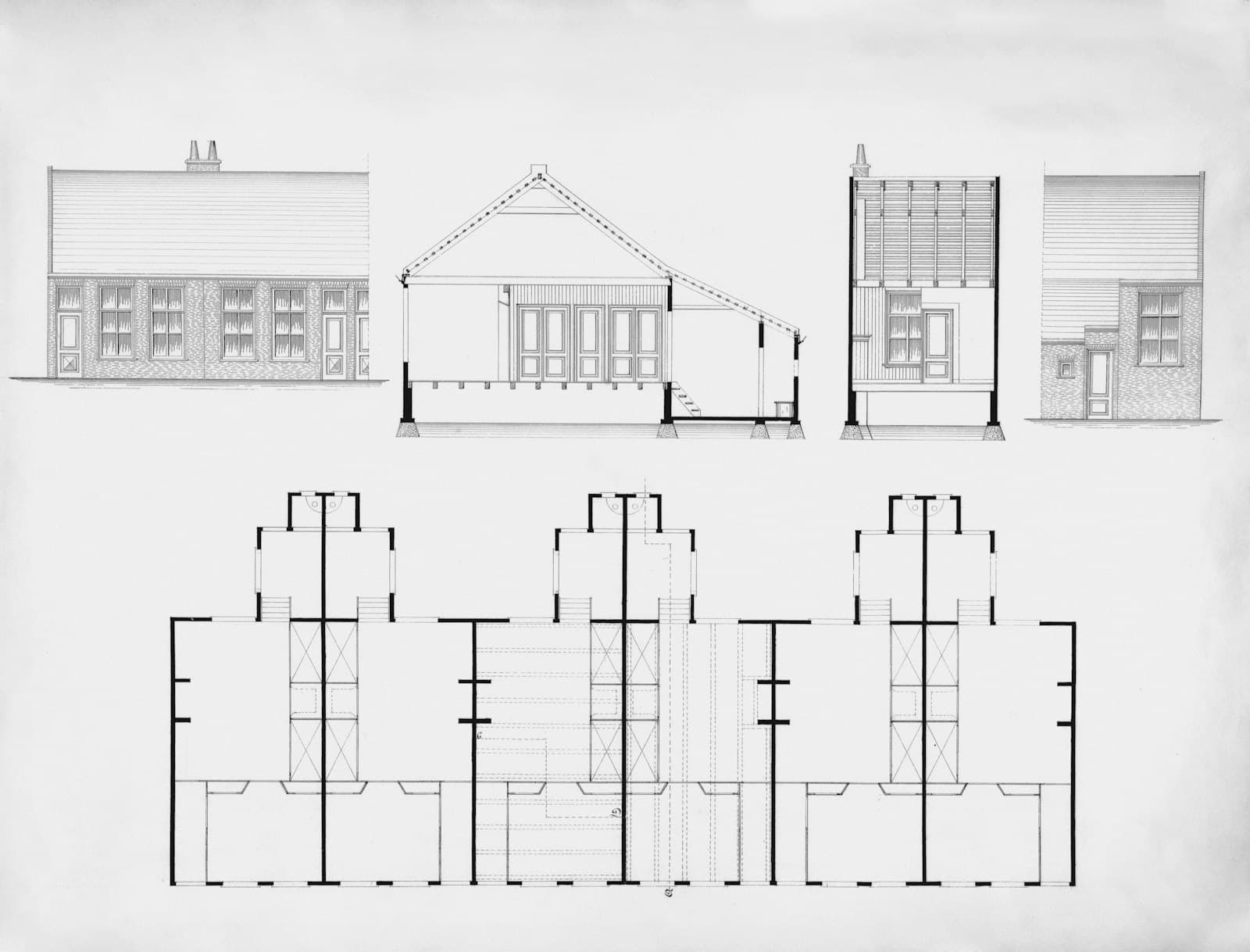
| Architectural drawings | Plans, sections and elevations drawn to the by-laws | Approved building planner |
| Structural details, where required | Safety in a high seismic zone | Structural engineer |
| ID proof, photos, affidavits | Identity of every owner and their declarations | Owners |
The exact list changes with the size and use of the building, so treat this as a starting point. We give you the final list after the first site visit.
How the application moves
Building map applications in Uttarakhand are filed online through the housing department's eASE portal (uhudaeaseapp.uk.gov.in), where you can also track the status and download the sanction letter. The drawings and documents are prepared and uploaded by a building planner registered with the authority.
- 01Site visit and measurement of the plot.
- 02Drawings prepared to the by-laws. Here is what setbacks, height and floor area mean for your plot.
- 03File uploaded with documents and fees.
- 04Scrutiny by the authority, often with a site inspection.
- 05Objections, if any, answered and drawings revised. These are the usual objections and how to fix them.
- 06Approval and sanction letter issued.
- 07Construction starts, exactly as per the approved drawings, with a copy kept on site.
How long it takes
It depends on how complete the file is, the zone the plot is in, whether a land use change is still pending and whether objections come back. A single house with clean papers moves fastest. Files with mismatched records, a pending Section 143 or lake-area conditions take longer. Nobody can honestly promise a fixed number of days, but a file that is complete on day one saves weeks.
Local things that catch owners out
- The access road is narrower than assumed. It is measured in front of your plot, not on the main road.
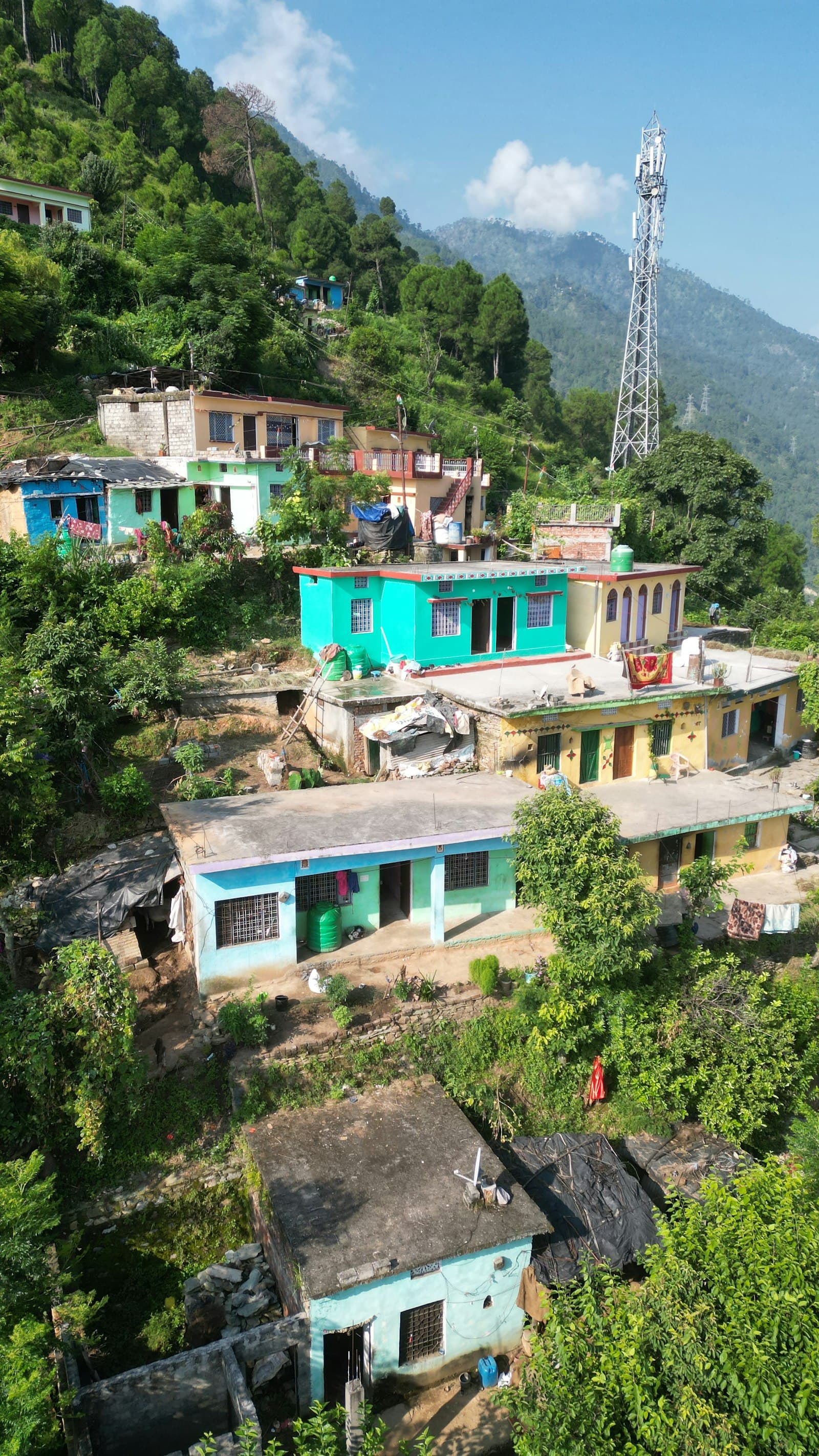
- Plots below the road, common along the Bhimtal–Bhowali and Bhowali–Kainchi roads, enter at the top floor, which changes how floors and height are counted.
- Nainital town and the lake catchments are stricter than the villages around them.
- Old family houses often never had an approved map, so adding a floor may mean dealing with the existing structure first.
- Land bought jointly by several family members needs every owner's documents and signature.
After approval
Build what was approved. Changing the design halfway usually means a revised map, which is why it pays to settle the look of the house first with a 3D elevation before you build. Time the start of work to the season, too: here is when to build in Nainital and Bhimtal. Keep the sanction letter and approved drawings safe: banks ask for them for a home loan, and buyers ask for them when you sell.
Rules, fees and portal steps change from time to time. As a DLDA approved building planner based in Bhimtal, we check the current requirements for your exact plot before drawing anything.
Common questions
Who approves building maps in Bhimtal?
Bhimtal falls within the area of the District Level Development Authority (DLDA), Nainital, along with Bhowali, Sattal, Naukuchiatal, Ramgarh and Mukteshwar. Villages at the edges may fall outside a notified development area, so confirm your plot's status first.
Can I apply for naksha pass online in Uttarakhand?
Yes. Applications go through the state's eASE portal. The drawings and documents are prepared and uploaded by a building planner registered with the authority, and you can track the status online.
Do I need Section 143 before map approval?
If the land is still recorded as agricultural, usually yes. The land use has to be declared non-agricultural before a house can be approved on it.
How much does naksha pass cost in Nainital?
The authority's fees depend on the built-up area and the type of building, and they are revised from time to time. The planner's fee for drawings and follow-up is separate. We quote both after seeing the plot.
 [S-01] Related serviceDLDA Approved Building PlannerBuilding maps drawn to the by-laws and taken through DLDA approval for you.
Questions about your own plot?
Ask on WhatsApp